
Ten Best Hikes in the Inland Empire
The Inland Empire has a multitude of hiking trails to choose from, so here is a guide for some of the less traveled trails.
By Mariana Duran
Most hikers around the IE gravitate to the very popular Etiwanda Falls, and while it is definitely a lovely hike, it is often very crowded and once completed several times can leave someone wanting a more difficult challenge.
Luckily, the Inland Empire sits at the base of several mountain ranges and has hundreds of hikes to choose from for almost every skill level.
Here are ten hiking areas to choose from that range from easy to more difficult.
Hikers resting at Heart Rock / Image courtesy of world-of-waterfalls.com
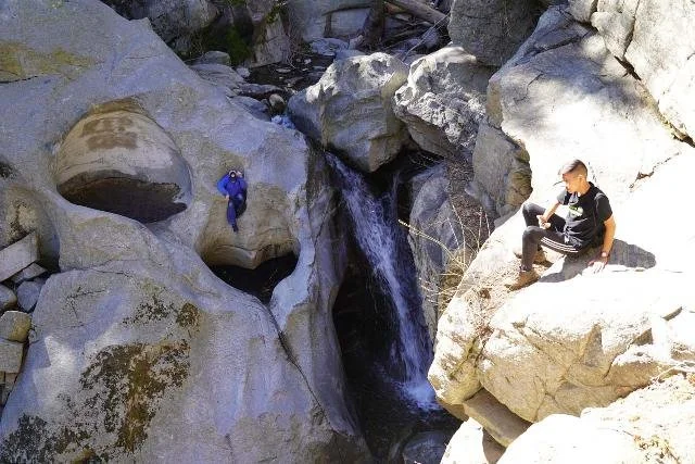
1. Heart Rock Trail - 1.7 Miles. Elevation gain: 287 feet.
Located in the cover of the San Bernardino National Forest near Crestline, it is a short yet beautiful hike that leads to a heart-shaped formation in the rock next to a small waterfall. The easy-to-follow trail leads through towering pines, and though steep in some sections it still remains very beginner friendly.

View of Old CC Spur / Image courtesy of Alltrails.com
2. Old CC Spur- 5.4 Miles. Elevation gain: 882 feet.
This inclined fire road is generally considered an easy hike, perfect for getting into longer distance hikes. While the first mile and a half is an old road, it eventually leads to a dirt trail that passes a small waterfall that is bountiful during the wet season among several wildflowers. The hike ultimately "ends" at an old fire hut with a great view over the city of Fontana, although you can technically continue the hike down the trail until it drops you off at a nearby boulder field. This hike shares some of its trail with off-road vehicles so it is best to be vigilant when hiking this area, though cars are not usually common.
North Bane Ridge to Sidewinder Loop / Image courtesy of Alltrails.com
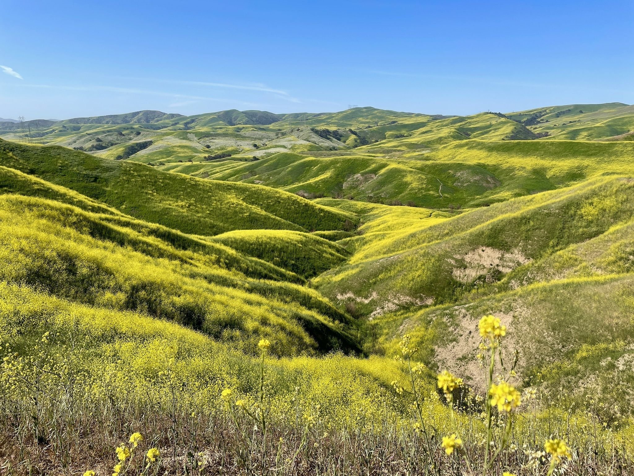
3.North Bane Ridge to Sidewinder Loop -6.2 Miles. Elevation gain: 918 feet.
Located within Chino Hills State Park, this hike is exceptionally beautiful during spring, with hundreds of yellow mustard flowers in bloom. While not an overly difficult trail, one can still find solitude through the rolling hills surrounding the hike whilst enjoying a more intense challenge than usual.
Potatoes brought by hikers / Image courtesy of Alltrails.com
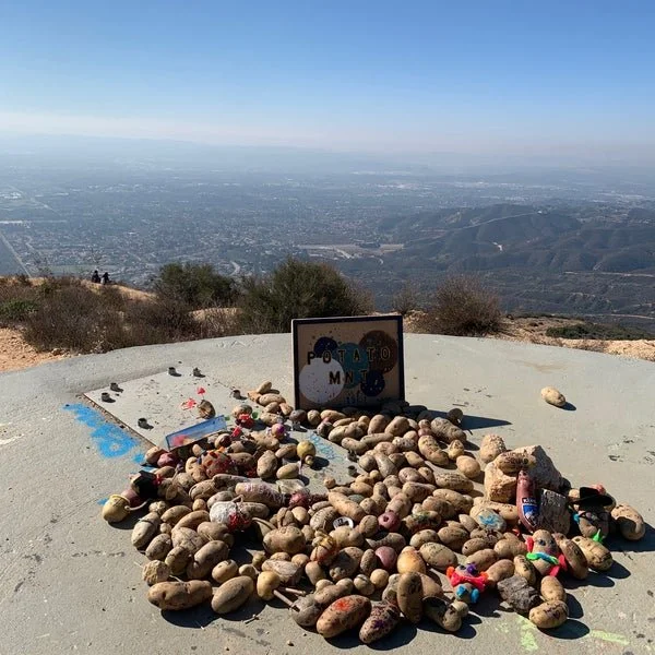
4. Potato Mountain- 5.2 Miles. Elevation gain: 1,204 feet.
A moderately challenging hike through an old oak forest that climbs up to the mountain's summit where hundreds of potatoes can be found. Hikers decorate their own potatoes in creative ways before leaving them at the summit for all to enjoy.
View from Bertha Peak / Image courtesy of TripAdvisor.com
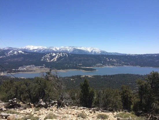
5. Bertha Peak- 6.8 Miles. Elevation gain: 1,318 feet.
The perfect hike for someone just getting into summiting bigger mountain peaks. The trail near Cougar Crest at the adventure center in Big Bear paces itself with a gradual incline that leads to the 8,199 summit that offers panoramic views of Big Bear lake. This hike crosses the realm into more moderate hikes that take almost half a day.
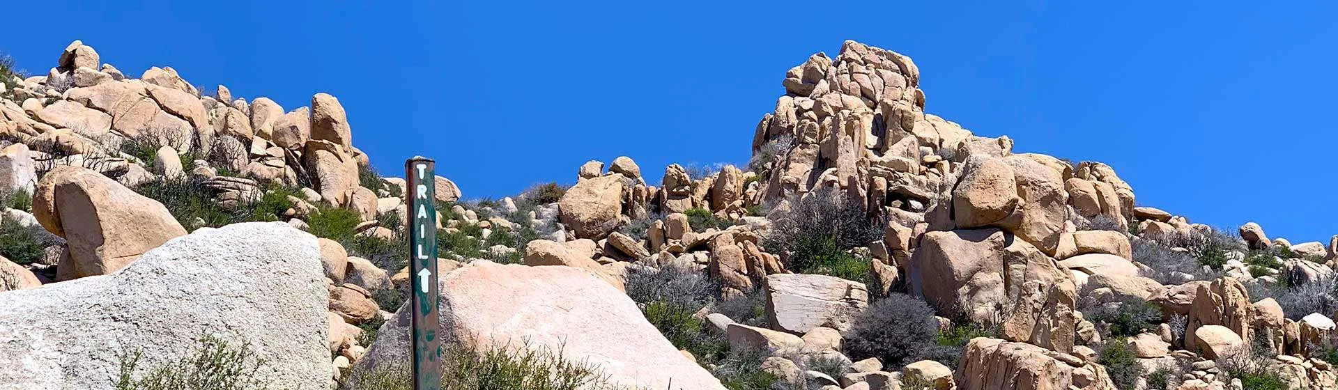
Rock formations at the Arrowhead Pinnacles / Image courtesy of Hikingguy.com
6. Arrowhead Pinnacles- 4.6 Miles. Elevation gain: 1,099 feet.
Though shorter and with less elevation gain than Bertha Peak, this trail winds through a spectacular, rocky landscape which makes it a bit easier to get lost if one is not paying attention. Rock stacks lead the way to a class 2 scramble which when at the top, has panoramic 360-degree views of Lake Gregory, Lake Arrowhead, and the surrounding mountains and desert.
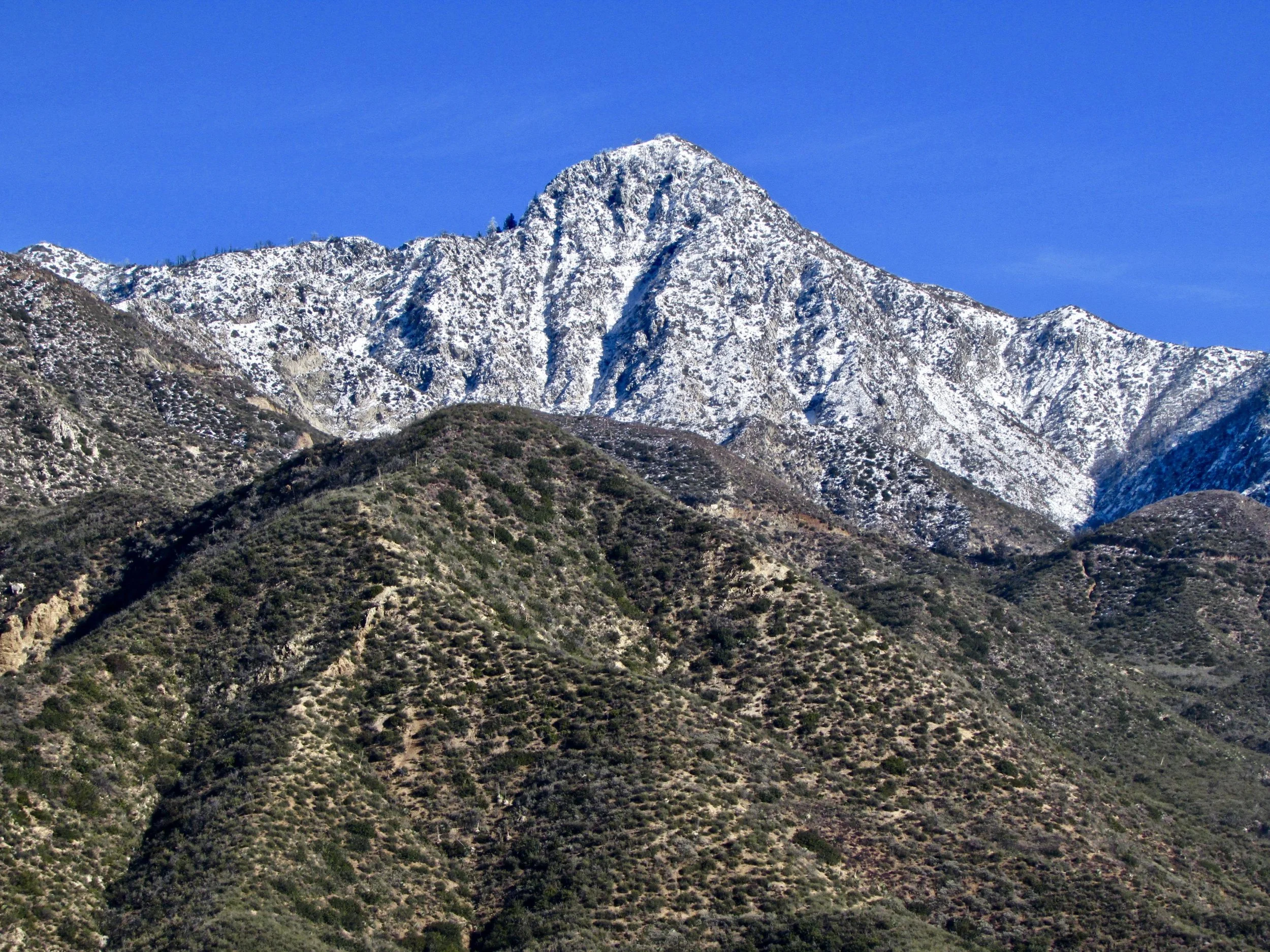
Strawberry Peak / Image courtesy of Reddit user darkpsychicforce
7.Strawberry Peak- 7.2 Miles. Elevation gain: 1,788 feet.
This hike winds around Mt. Lawlor with great views throughout. The mountain gets its name because from a distance, it looks like an upside strawberry. This is a great hike for getting more comfortable with longer distances and preparing for even bigger mountain summits. The Strawberry Peak summit sits at 6,164 ft and is the highest point in the San Gabriel mountain range.
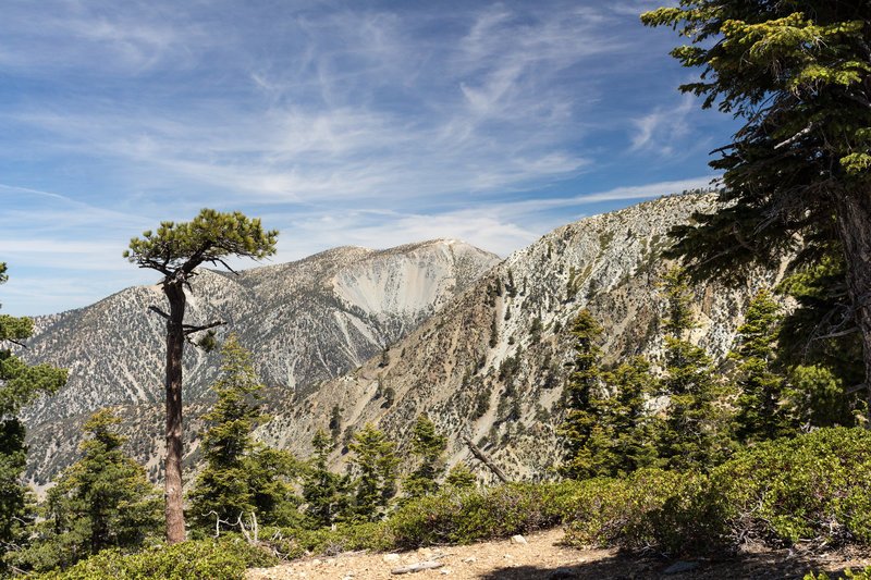
Timber Mountain Trail / Image courtesy of hikingproject.com
8. Timber Mountain- 8.5 Miles. Elevation gain: 3,333 feet.
Following the trail through Icehouse Canyon near Cucamonga Peak, this trail is where things start to get more serious. Taking an average of 6-8 hours to complete, the trail takes you past Kelly Camp which was an old miner's camp established in the early 1900s. A permit is required for this hike and the elevation increases gradually before reaching the summit sign sitting at 8,303 feet.
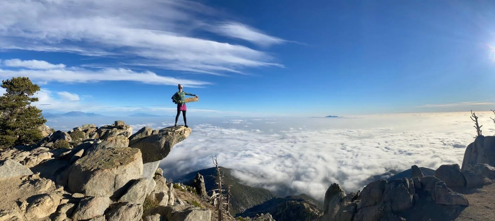
A hiker at Cucamonga Peak / Image courtesy of 57hours.com
9. Cucamonga Peak- 12 miles. Elevation gain: 4,100 feet.
Following the same Icehouse Canyon trail from previously mentioned this is one the most popular mountain hikes in the Inland Empire and is a very recognizable peak. Visible from the Chaffey College Campus, the mountain towers at 8,862 ft with spectacular views of the Inland Empire below. For the more serious hiker starting to get into bigger peaks.
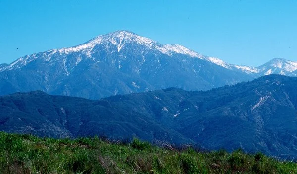
San Gorgonio / Image courtesy of sbmlt.net
10.San Gorgonio via Vivian Creek- 19 miles. Elevation gain: 5,492 feet.
A rite of passage for every serious hiker in the Inland Empire, San Gorgonio, otherwise known as Old Greyback, is the tallest point in Southern California at 11,499 ft. Gorgonio is arguably the most iconic hike in the area, as the ginormous mountain can be seen from any freeway in the IE going east. Though Vivian Creek is the shortest route up the mountain, it is also the steepest and should only be attempted by those seeking a difficult adventure.
While this list is only a small sample of hikes in terms of IE hiking, it is a great place to begin a familiarization with the area and what it has to offer. These hikes can be used to train for longer distance hikes not included in this list, or for more adventures in the nearby Sierra Nevada mountains.